

How it works
Four simple steps from search to shortlist.
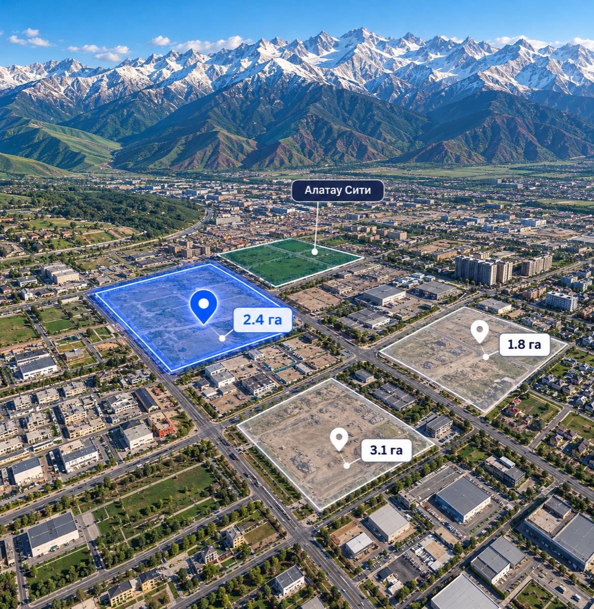
- 1Open the mapSee the available plots
- 2Pick plotsMark the options you like
- 3Compare dataAI helps you spot the differences
- 4Build a listDecide on the next step

What to check next
Once you have picked plots, verify the key parameters as well.
- UtilitiesPower, water, gas
- Restrictions and zonesSanitary and urban planning
- Access and logisticsRoads and infrastructure
- Owner documentsEncumbrances and status
- Legal statusPermitted use and compliance
Choose a plot on the map
Plot A passport
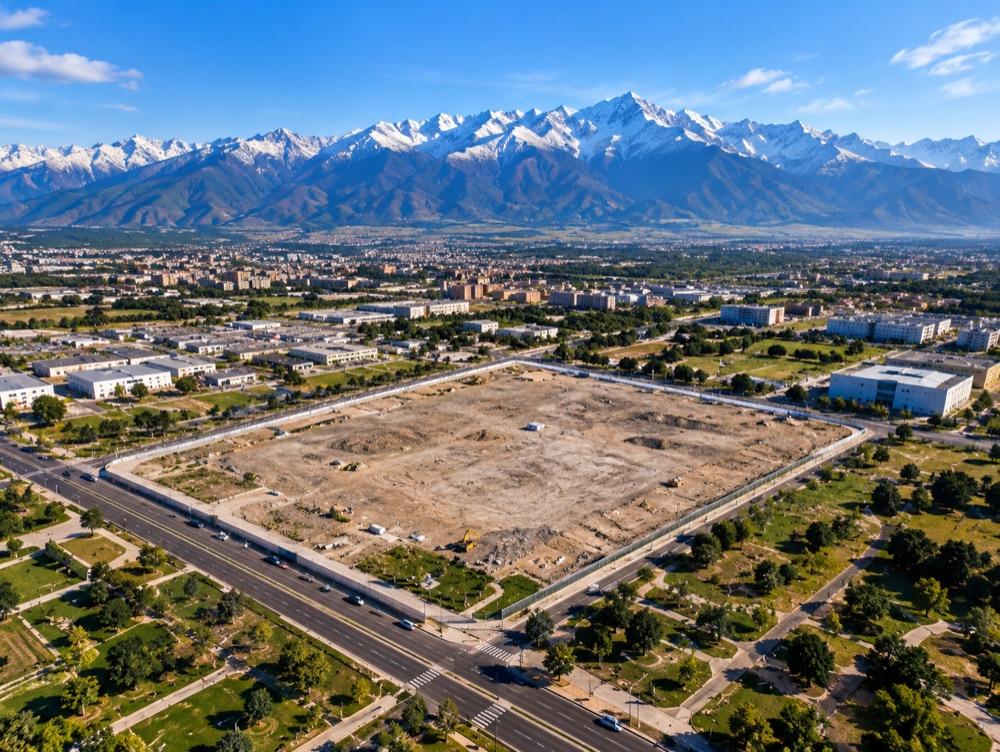
Plot A
Warehouse / logistics · sample data
- Area
- 2.4 ha
- Use
- Warehouse
- Utilities
- Needs checking
- Restrictions
- Per available sources
- Documents
- Checked separately
AI plot comparison
See the differences for a single business task.
Plot A2.4 ha
Plot B1.8 ha
Plot C3.1 ha
| Data | Plot A | Plot B | Plot C |
|---|---|---|---|
| Master plan | Data available | Data available | Little data |
| Restrictions | Data available | Needs checking | Data available |
| Utilities | Data available | Data available | Needs checking |
| Logistics | Data available | Little data | Data available |
Example: plot A has fewer unverified parameters.
AI compares only the available data and does not replace an expert review.
Who it helps
Choose, analyse and explain the differences.

Choosing a site
For your own company

Working with clients
Preparing a selection of plots

Weighing several options
Comparing them in one format
What the subscription includes
Data and comparison for a more informed choice.
- Extended passportsFor all available plots
- AI comparisonBased on the available characteristics
- One accountFor a calendar month
- No auto-renewalYou renew manually
Expert PDF reports are paid separately.
Shortlist
Plots saved: 3

Next step
Explore plots with confidence
Extended passports for all available plots and AI comparison.
Level UpOne calendar month · one account